
Executive Takeaways
- Subterranean Acceleration: Advanced satellite interferometry and seismic sensor arrays have confirmed that one of the planet’s most dangerous supervolcanoes—Campi Flegrei in Southern Italy—is undergoing a high-rate magmatic recharge, with fresh melt migrating from a deep mantle source into shallow crustal reservoirs.
- Infrastructure Exposure: The active caldera encompasses a major European metropolitan zone housing over 3 million residents, critical maritime logistical hubs, and major regional energy corridors, exposing over $350 billion in institutional real estate and public infrastructure assets to acute geological risk.
- Capital & Insurance Re-pricing: Reinsurance cartels and institutional bond underwriters are rapidly recalibrating catastrophic risk models, triggering early capital flight, debt yield adjustments, and a tightening of underwriting parameters across Mediterranean asset portfolios.
- Tech-Driven Mitigation: Global energy and infrastructure conglomerates are deploying edge-compute seismic networks, fiber-optic distributed acoustic sensing (DAS), and real-time cloud analytics to secure continuity plans and defend against enterprise operational failure.
The Subterranean Shift: Geophysical Genesis and Real-Time Inflation
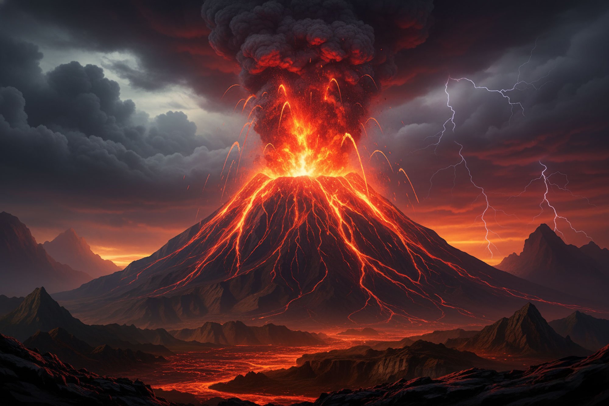
Deep beneath the densely populated western outskirts of Naples and the Gulf of Pozzuoli lies the Campi Flegrei caldera—a giant, 12-kilometer-wide volcanic structure formed tens of thousands of years ago through catastrophic super-eruptions. Unlike traditional cone volcanoes, supervolcanoes do not merely emit localized lava flows; their collapse features conceal vast, interconnected magmatic and hydrothermal architectures capable of altering global climate systems. Over the past several months, an international coalition of geophysicists, satellite radar analysts, and seismologists has documented an unprecedented surge in deep-tier magma migration, signaling that fresh, volatile-rich basaltic melt is actively refilling the supervolcano’s primary crustal reservoir.
This process, known colloquially as bradyseism, has shifted from a slow hydrothermal pressurization phase into a distinctly magmatic dynamic. High-resolution Synthetic Aperture Radar (SAR) data gathered by the European Space Agency’s Sentinel-1 constellation indicates sustained ground deformation, with vertical inflation rates accelerating to historic thresholds. Concurrently, geochemical sampling from active fumaroles at Solfatara reveals a sharp increase in the carbon dioxide to water vapor ($CO_2/H_2O$) ratio, alongside rising concentrations of helium-3 isotopes—unmistakable thermal signatures confirming that hot, un-degassed magma has ascended from depths exceeding 8 kilometers into the shallower 3-to-4-kilometer dynamic storage zone.
The immediate physical expression of this deep recharge is a dramatic increase in micro-seismic events. Over the past quarter, the regional monitoring network operated by the Istituto Nazionale di Geofisica e Vulcanologia (INGV) recorded thousands of earthquakes along brittle fault lines framing the caldera. As the upward pressure of the expanding magma chamber strains the overlying caprock, the brittle crust undergoes structural failure, raising the structural failure probability of critical municipal infrastructure, subterranean transit tunnels, and high-voltage electrical corridors throughout the region.
Quantifying the Hazard: Key Physical and Financial Metrics
To assess the magnitude of the ongoing magmatic event, field data collected from geodetic arrays, gas chromatography stations, and financial risk models have been synthesized into the following operational metric baseline:
| Monitoring Vector / Risk Factor | Baseline Measurement (Historical) | Current Operational Metric | Implied Systemic Risk Level |
|---|---|---|---|
| Shallow Magma Chamber Injection Depth | 7.5 – 10.0 kilometers | 3.2 – 3.8 kilometers | Critical: Magma body ascending into brittle upper crust. |
| Cumulative Ground Uplift (Pozzuoli Epicenter) | ~15 cm / decade (1990–2010) | > 115 cm (Cumulative since 2016 phase) | Severe: High structural failure rate for surface infrastructure. |
| Monthly Seismic Event Frequency | < 50 micro-earthquakes | > 1,100 events / month ($M_w$ up to 4.4) | High: Accelerating fault rupture and caprock strain. |
| Exposed Asset Base (Real Estate & Transit) | $120 Billion (Nominal) | $350+ Billion (Adjusted replacement value) | Extreme: Unhedged capital exposure across regional markets. |
| Direct Population within Red Zone | ~350,000 residents | ~500,000 residents (Immediate zone) | Severe: Mass emergency evacuation requirements. |
Macroeconomic Exposure: Real Estate, Sovereign Debt, and Supply Chain Contagion
The geopolitical and economic ramifications of an active supervolcano refilling with magma extend far beyond localized geological hazards. Southern Italy represents a critical node in Southern Europe’s maritime logistics network, agricultural output, and energy transportation architecture. The Port of Naples, situated along the eastern rim of the caldera, serves as a primary logistical funnel for Mediterranean trade routes, processing millions of twenty-foot equivalent units (TEUs) annually. A structural escalation in volcanic activity or localized tsunami events originating from sea-floor displacement would instantly compromise shipping operations, disrupting Mediterranean trade liquidity and forcing global logistics providers to reroute supply chains around Western Europe at substantial operational expense.
From an institutional capital perspective, the ongoing deformation is causing significant dislocation in municipal and private real estate values. Major commercial real estate holding companies and regional private equity ventures face aggressive repricing models as assets inside the high-hazard "Red Zone" experience structural micro-cracking and loss of insurability. Reinsurance firms—already managing record climate and natural catastrophe loss reserves—are actively raising premium floors or issuing conditional non-renewal notices for property policies across the Neapolitan basin. Without access to commercial risk transfer instruments, institutional capital allocation to the region has slowed, triggering a drop in asset valuation multiples across regional real estate portfolios.
Furthermore, sovereign risk analysts are monitoring the potential fiscal burden on the Italian state. The capital outlay required to execute civil protection protocols, reinforce public infrastructure, and fund potential large-scale evacuations poses a material threat to national fiscal metrics. Sovereign debt markets have begun pricing in a marginal volcanic risk premium on Italian BTP bonds relative to German Bunds, as macro analysts project that a full-scale evacuation or major eruptive event would instantly require emergency credit facilities from the European Union, testing European sovereign debt stability and fiscal mechanisms.
Infrastructure Resilience, Cloud Architecture, and Enterprise Risk Mitigation
Faced with an escalating geological hazard, multinational corporations, telecommunications operators, and utility providers operating within Southern Europe are pivoting toward advanced risk mitigation frameworks. Ensuring business continuity during a prolonged volcanic unrest cycle demands high-level technical solutions that integrate real-time geodetic sensor data with distributed cloud computing networks.
Leading enterprise technology firms have begun deploying edge-computing arrays integrated with Fiber-Optic Distributed Acoustic Sensing (DAS) systems across industrial facilities surrounding the supervolcano. By repurposing subterranean commercial fiber-optic cables into giant seismic telemetry arrays, high-frequency acoustic waves generated by micro-fractures in the earth are processed locally at high speed. These real-time data feeds are channeled into cloud compute architectures running machine-learning algorithms to predict structural strain, allowing utility operators to automatically shut down high-pressure gas pipelines, reroute high-voltage electrical grids, and isolate water mains seconds before damaging seismic waves hit critical installations.
Similarly, telecom providers and enterprise software firms operating primary regional data centers are executing geo-redundancy protocols. To achieve structural resilience, mission-critical database workloads are being shifted out of the Campania region into distributed multicloud architectures in Northern Europe and Western Iberia. This enterprise cloud migration guarantees high availability and asset protection, ensuring that banking infrastructure, public transit routing algorithms, and emergency communication backbones retain enterprise continuity even if physical infrastructure in the caldera zone suffers complete power network grid collapse.
Frequently Asked Questions (People Also Ask)
Which supervolcano is currently refilling with fresh magma?
The primary supervolcano currently experiencing accelerated magma chamber refilling is Campi Flegrei (the Phlegraean Fields), located in Southern Italy directly adjacent to Naples. Advanced satellite radar, ground GPS sensors, and geochemical analyses confirm that fresh basaltic magma is actively migrating from a deep mantle source (approx. 8–10 km depth) into a shallow dynamic reservoir (3–4 km depth), driving ground uplift and frequent seismic activity.
What would happen if a supervolcano like Campi Flegrei erupted?
A full-scale super-eruption (Vegetative Level 7 or 8 on the Volcanic Explosivity Index) would collapse the overlying regional topography, generate massive pyroclastic density currents destroying everything within a 20-to-30-kilometer radius, and release millions of tons of sulfur dioxide ($SO_2$) into the stratosphere. This would cause immediate catastrophic regional loss of life and infrastructure, while triggering a global "volcanic winter" that could drop global temperatures by 1 to 2 degrees Celsius for years, severely disrupting global agriculture and trade. However, even a minor, localized phreatic (steam-driven) or magmatic eruption would create acute economic disruption, mass evacuations, and disruption to European air transit corridors.
How do scientists measure magma chamber refilling in real time?
Geoscientists monitor magma chamber dynamic flux using a multi-modal telemetry stack. Key methods include: 1) InSAR (Interferometric Synthetic Aperture Radar) satellite technology to detect millimeter-scale changes in surface topography; 2) Continuous GPS arrays measuring directional crustal strain; 3) Gas chromatography at fumarole vents measuring rising $CO_2/H_2O$ and helium isotope ratios ($^3He/^4He$); and 4) Seismic tomography networks that track micro-earthquake hypocenters to map the exact pathways of ascending pressurized fluids and magma.
How does supervolcano activity affect financial markets and sovereign debt?
Sustained geological instability triggers capital reallocation away from affected regions. Real estate valuations decline due to physical asset risk and the withdrawal of primary coverage by global reinsurance companies. Sovereign credit markets factor in potential emergency fiscal liabilities required for disaster response, leading to a widening of sovereign bond yield spreads (e.g., Italian BTPs vs. benchmark German Bunds). Additionally, multinational corporations incur higher capital expenditures to build infrastructure redundancy and re-route global supply chains, directly impacting operational margins and equity valuation multiples across real-economy sectors.
Future Outlook: Strategic Milestones and Risk Vectors
The trajectory of Campi Flegrei over the next 12 to 36 months remains the focal point for global geophysicists, national emergency management authorities, and global financial markets. The critical indicator to watch is the transition from brittle seismic cracking to plastic deformation or sustained structural failure of the shallow reservoir caprock. If ground deformation rates cross critical strain thresholds without stabilizing, civil defense authorities will be forced to elevate the hazard status from Orange (Pre-Alarm) to Red (Evacuation), initiating the structured displacement of hundreds of thousands of residents and shutting down key commercial infrastructure.
For institutional investors, corporate risk managers, and infrastructure planners, the ongoing magmatic event serves as a clear reminder of macro-environmental systemic risk. The coming quarters will require aggressive risk management strategies, including the integration of predictive geophysical analytics into sovereign debt portfolio stress testing, the restructuring of commercial property insurance syndicates, and the continued acceleration of cloud-based enterprise redundancy protocols across vulnerable operational nodes throughout the Mediterranean basin.