
India’s Ultimate Eye in the Sky: Inside ISRO’s High-Stakes Plan to Watch the Subcontinent from 36,000 KM
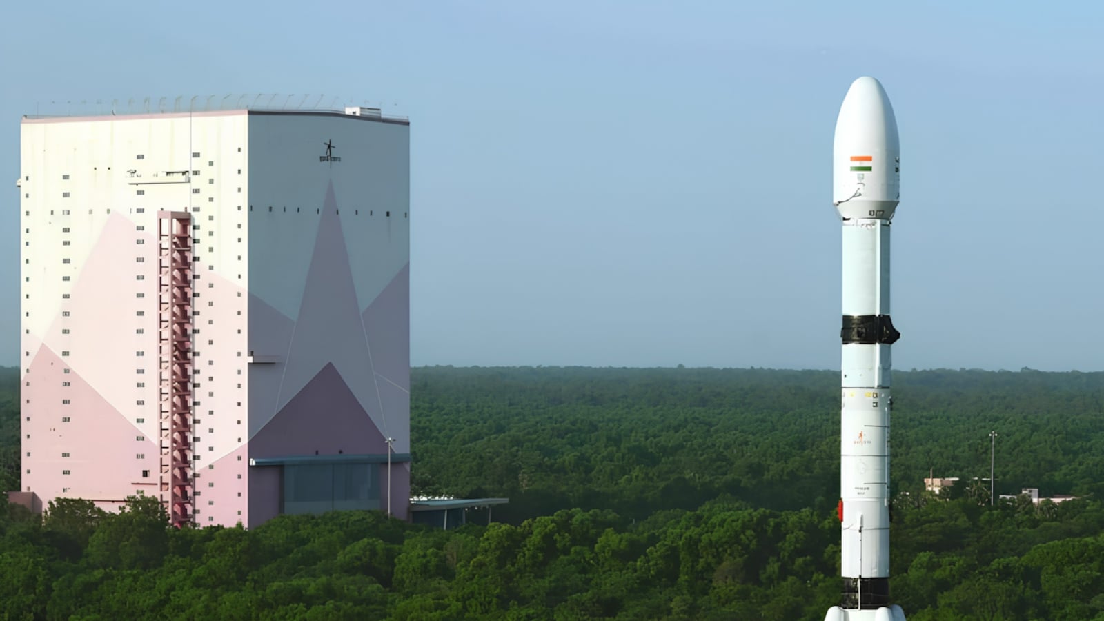
BENGALURU — In a move set to redefine Indo-Pacific geostationary surveillance and disaster response, the Indian Space Research Organisation (ISRO) is preparing to launch its highly anticipated Earth Observation Satellite, EOS-05, also known as GISAT-1A. Scheduled for lift-off on September 4, 2026, from the Satish Dhawan Space Centre in Sriharikota, this state-of-the-art spacecraft will establish a permanent, unblinking vigil over the Indian subcontinent from an altitude of 36,000 kilometers.
For decades, Earth observation has relied heavily on Polar and Low Earth Orbit (LEO) satellites. While these spacecraft provide highly detailed imagery, they suffer from a fundamental limitation: they are constantly in motion, passing over a specific geographic point on India only once or twice a day. GISAT-1A breaks this paradigm. By operating in a Geostationary Transfer Orbit (GTO) and subsequently circularizing into a geostationary slot, the satellite will rotate in perfect tandem with the Earth, keeping its advanced optical sensors trained continuously on India and its surrounding oceans.
Executive Summary: India's Strategic Leap in Orbit
- The Mission: Launch of EOS-05 (GISAT-1A) aboard India’s Geosynchronous Satellite Launch Vehicle (GSLV).
- Target Launch Date: September 4, 2026, from the Second Launch Pad at Sriharikota.
- Orbital Positioning: Geostationary orbit at 36,000 km above the equator, ensuring uninterrupted coverage of the Indian landmass.
- Primary Capabilities: Real-time disaster monitoring, agricultural assessment, forestry management, and high-frequency multispectral imaging.
- Strategic Impact: Dramatic reduction in response times for natural disasters and enhanced maritime and border surveillance capabilities.
The Paradigm Shift: Why Geostationary Imaging Matters
In the realm of space-based assets, time is often more valuable than raw resolution. During critical emergencies—such as the rapid escalation of a tropical cyclone in the Bay of Bengal, sudden cloudbursts in the Himalayas, or fast-spreading forest fires in the Western Ghats—waiting hours for a LEO satellite to pass overhead can cost lives. GISAT-1A eliminates this dangerous latency.
Equipped with a high-resolution multi-spectral, multi-band payload, GISAT-1A can image the entire Indian landmass every 30 minutes. If focused on a specific disaster zone, it can stream near-real-time visual data at intervals of just a few minutes. According to senior ISRO officials, this operational flexibility represents a "quantum leap" in how India manages its domestic security, agricultural health, and disaster mitigation strategies.
"Historically, geostationary orbits were reserved almost exclusively for communication and meteorological satellites with coarse imaging capabilities," explains an aerospace analyst familiar with the project. "GISAT-1A is a sophisticated hybrid. It brings high-resolution optical and infrared imaging to high orbit, offering a continuous, dynamic map of India’s economic and environmental footprint."
Technical Specifications and Mission Architecture
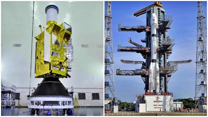
To place a heavy imaging platform into a geostationary orbit, ISRO will utilize its workhorse GSLV rocket, equipped with an indigenous cryogenic upper stage. The satellite itself features state-of-the-art imaging payloads designed to operate across several spectral bands, including visible, near-infrared, shortwave infrared, and thermal infrared.
| Parameter | Specification Details |
|---|---|
| Satellite Designation | EOS-05 (Geosynchronous Imaging Satellite-1A / GISAT-1A) | Launch Vehicle | GSLV-F14 (Geosynchronous Satellite Launch Vehicle) |
| Launch Date | September 4, 2026 |
| Orbit Type | Geostationary Orbit (GEO) at ~36,000 km altitude |
| Imaging Frequency | Every 30 minutes (Subcontinent); < 5 minutes (Targeted Zone) |
| Key Payloads | Multispectral & Hyperspectral Imagers (MX, HyS) |
| Primary Applications | Disaster warning, agriculture, forestry, border monitoring |
Geopolitical and Economic Implications
Beyond its obvious scientific and humanitarian benefits, the deployment of GISAT-1A carries profound economic and geopolitical weight. From an economic perspective, the satellite’s ability to conduct rapid, high-frequency agricultural assessments will allow the Indian government and private commodity markets to forecast crop yields with unprecedented accuracy. Issues such as drought stress, pest infestations, and soil moisture depletion can be identified and addressed weeks before they manifest as systemic crises.
On the geopolitical front, the strategic utility of an "unblinking eye" in space cannot be overstated. With a continuous view of India's vast land borders and critical maritime trade routes in the Indian Ocean Region (IOR), GISAT-1A provides the Indian defense and security establishment with persistent situational awareness. It enables the tracking of large-scale movements, maritime anomalies, and changes in coastal infrastructure without the predictability issues associated with low-orbit spy satellites.
The Road to Sriharikota: Overcoming Technical Hurdles
The path to the launchpad for GISAT-1A has been a journey of rigorous engineering and resilience. Placing a highly sensitive optical payload into geostationary orbit presents severe environmental challenges. Unlike LEO satellites, which operate within the relative protection of the lower magnetosphere, geostationary satellites are subjected to intense solar radiation, extreme thermal fluctuations, and electrostatic discharge risks.
ISRO engineers have spent years perfecting the thermal management systems and radiation shielding of the EOS-05 platform. The optical mirrors must remain perfectly aligned and free from thermal distortion, even as the satellite transitions between intense direct sunlight and the freezing shadow of the Earth. The success of this mission will solidify India's position in an elite club of spacefaring nations capable of designing, launching, and operating advanced geostationary imaging systems.
Frequently Asked Questions
How does GISAT-1A differ from existing Indian Earth observation satellites?
Most of India's current Earth observation satellites operate in Low Earth Orbits (LEO), which circle the globe at altitudes between 500 km and 800 km. While they offer high spatial resolution, they can only image a specific location once or twice a day. GISAT-1A will sit in a Geostationary Orbit (GEO) at 36,000 km, allowing it to remain fixed over India and provide continuous, real-time imaging of the entire subcontinent.
What are the primary disaster management applications of this satellite?
GISAT-1A will act as a critical early warning system. It will monitor the rapid development of cyclones, track the real-time spread of forest fires, identify sudden cloudbursts in mountainous regions, and map the progression of major river floods. This near-instantaneous data stream will allow emergency response teams to plan evacuations and deploy rescue assets with maximum efficiency.